
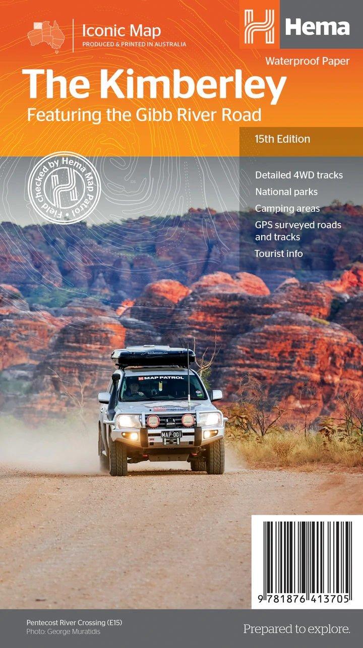
Hema Maps – The Kimberley Map – Featuring the Gibb River Road
Original price was: $15.95.$11.00Current price is: $11.00.
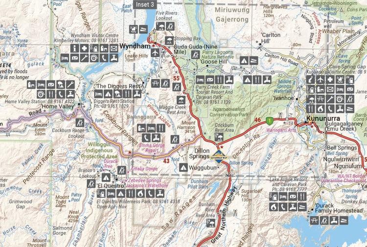
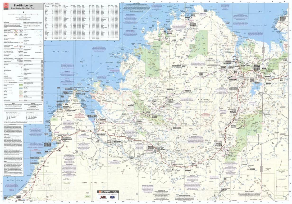
Waterproof HEMA touring map covering the Kimberley, with detailed 4WD tracks, the Gibb River Road, national parks, camping areas, GPS-surveyed tracks and useful touring information.
Description
The HEMA The Kimberley Map is a detailed regional map designed for 4WD touring and exploring one of Australia’s most remote and spectacular regions.
It provides extensive coverage of the Kimberley and the iconic Gibb River Road, with detailed 4WD tracks, touring points of interest and topographic information. The reverse side includes inset maps for Purnululu National Park, the Dampier Peninsula and the Parry Creek area.
Key features:
- Waterproof paper
- Detailed 4WD tracks
- Gibb River Road coverage
- National parks
- Camping areas
- GPS-surveyed roads and tracks
- Touring points of interest
- Topographic information
- Inset maps for key Kimberley destinations
Additional information
| Weight | 0.9 kg |
|---|---|
| Dimensions | 14 × 25 × 3 cm |
| Brand | Hema Maps |
Related products
-
Sale!
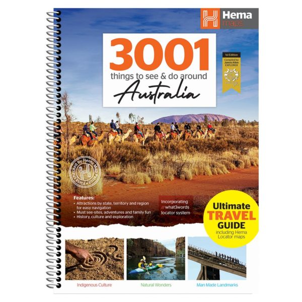
Hema Maps – 3001 Things to See & Do Around Australia
Original price was: $64.95.$51.95Current price is: $51.95. -
Sale!

Hema Maps – Big Things of Australia Map
Original price was: $15.95.$11.00Current price is: $11.00. -
Sale!
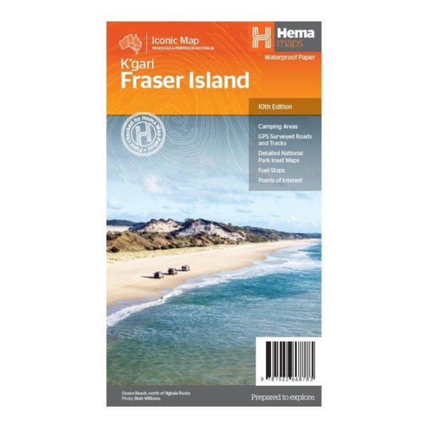
Hema Maps – Fraser Island (K’gari) Map – 10th Edition
Original price was: $14.95.$11.00Current price is: $11.00. -
Sale!
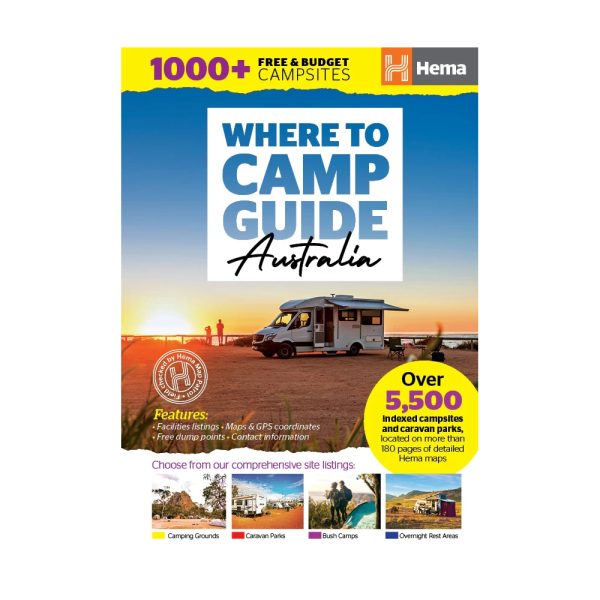
Hema Maps – Where to Camp Guide
Original price was: $64.95.$49.50Current price is: $49.50.