
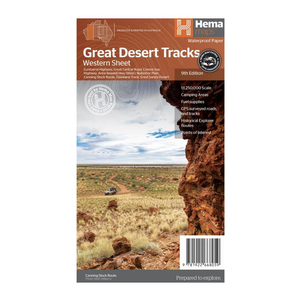
Hema Maps – Great Desert Tracks – Western Sheet, 9th Edition
Original price was: $15.95.$11.00Current price is: $11.00.
Detailed waterproof HEMA map covering Western Australia’s remote desert country, including the Canning Stock Route, Gunbarrel Highway, Great Central Road, Connie Sue Highway and Great Sandy Desert.
Description
The HEMA Great Desert Tracks Western Sheet is designed for 4WD touring and exploring Australia’s remote outback. The map covers an extensive area from beyond Derby in the north to Norseman in the south, and from Halls Creek in the east to Marble Bar in the west.
It features HEMA Map Patrol field-checked roads and 4WD tracks, distance markers, topographical relief and useful touring information including fuel supplies, camping areas, caravan parks, facilities and points of interest.
Major tracks and areas include:
- Canning Stock Route
- Gunbarrel Highway
- Great Central Road
- Connie Sue Highway
- Anne Beadell Highway – Western section
- Nullarbor Plain
- Talawana Track
- Great Sandy Desert
The map is printed on durable waterproof paper, making it particularly suitable for keeping in a 4WD while travelling through remote conditions.
Additional information
| Weight | 0.6 kg |
|---|---|
| Dimensions | 15 × 25 × 4 cm |
| Brand | Hema Maps |
Related products
-
Sale!
Hema Maps – Cape York Map – Featuring the Old Telegraph Track
Original price was: $15.95.$11.00Current price is: $11.00. -
Sale!

Dirty Steve Peppermint Engine Flush & Salt Eliminator
Original price was: $39.95.$18.00Current price is: $18.00. -
Sale!

Dirty Steve Bubblegum Ceramic Protectant – DS1019
Original price was: $30.95.$22.00Current price is: $22.00. -
Sale!
Hema Maps – The Kimberley Map – Featuring the Gibb River Road
Original price was: $15.95.$11.00Current price is: $11.00.