
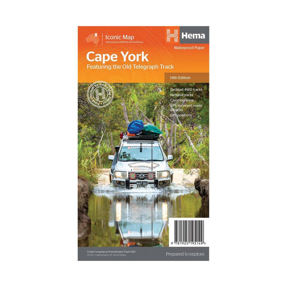
Hema Maps – Cape York Map – Featuring the Old Telegraph Track
Original price was: $15.95.$11.00Current price is: $11.00.
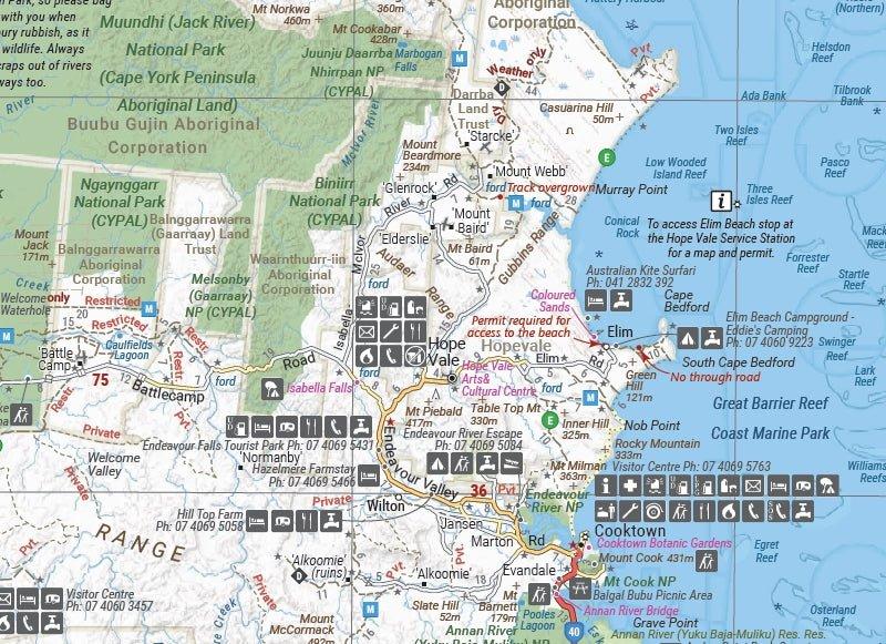
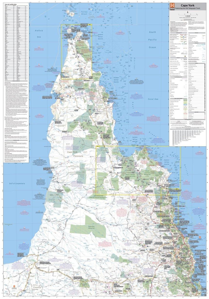
Explore Cape York with HEMA’s detailed waterproof touring map, covering the full Old Telegraph Track, 4WD tracks, campsites, national parks, GPS-surveyed roads and key touring destinations.
Description
The HEMA Cape York Map is designed for 4WD touring, camping and exploring Far North Queensland. Printed on durable waterproof paper, it provides detailed mapping of Cape York’s extensive road and 4WD track network, along with useful touring information and points of interest.
This 14th Edition covers the full Old Telegraph Track and includes inset maps for the CREB Track and Rinyirru (Lakefield) National Park. It also shows camping areas, national parks, accommodation, distances and GPS-surveyed roads and tracks.
Key Features
- Full Cape York coverage
- Old Telegraph Track
- Detailed 4WD tracks
- GPS-surveyed roads and tracks
- Camping areas
- National parks
- Accommodation and distances
- CREB Track inset map
- Rinyirru (Lakefield) National Park inset map
- Waterproof paper
- 1:1,000,000 scale
Additional information
| Weight | 0.09 kg |
|---|---|
| Dimensions | 25 × 14 × 3 cm |
| Brand | Hema Maps |
Related products
-
Sale!
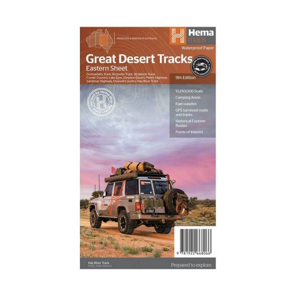
Hema Maps – Great Desert Tracks – Eastern Sheet 8th Edition
Original price was: $24.95.$20.00Current price is: $20.00. -
Sale!
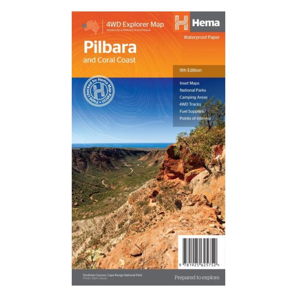
Hema Maps – Pilbara & Coral Coast Map
Original price was: $15.95.$11.00Current price is: $11.00. -
Sale!
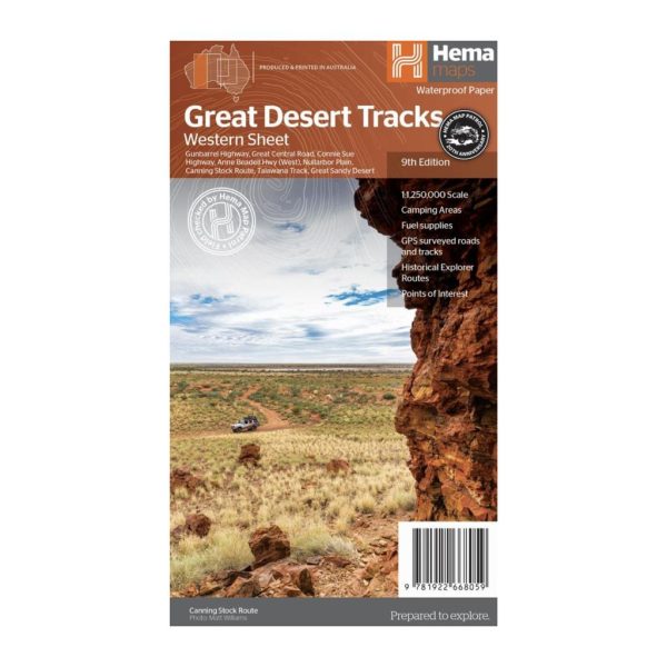
Hema Maps – Great Desert Tracks – Western Sheet, 9th Edition
Original price was: $15.95.$11.00Current price is: $11.00. -
Sale!
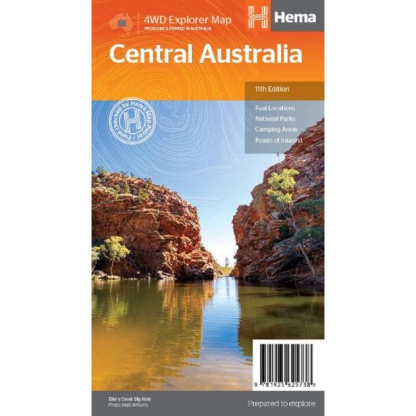
Hema Maps – Central Australia Map – 11th Edition
Original price was: $15.95.$11.00Current price is: $11.00.